
Houses for sale & to rent in DL13 4HL, High Stoop, Esh And Witton Gilbert, Bishop Auckland
House Prices in DL13 4HL, High Stoop, Esh And Witton Gilbert
Properties in DL13 4HL have no sales history available within the last 3 years. DL13 4HL is a postcode in High Stoop located in Esh And Witton Gilbert, an area in Bishop Auckland, County Durham, with 5 households².
Properties for sale near DL13 4HL, High Stoop
Previously listed properties near DL13 4HL, High Stoop

Price Paid in High Stoop, DL13 4HL, Esh And Witton Gilbert
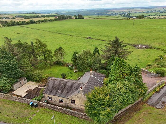
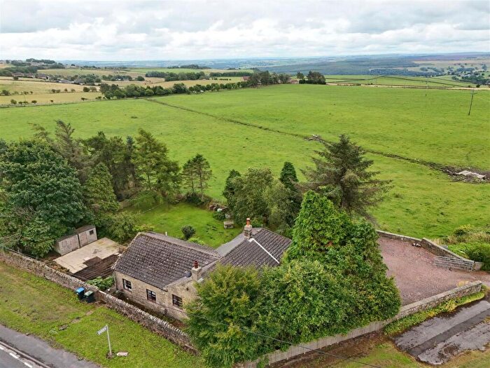
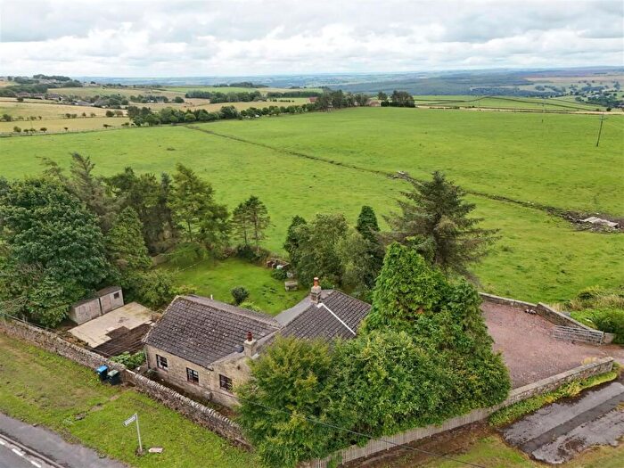
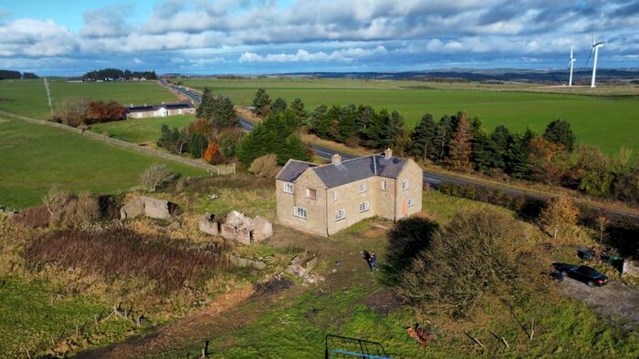
HIGH HOUSE FARM THE FARM HOUSE High Stoop, DL13 4HL, Esh And Witton Gilbert Bishop Auckland
Property HIGH HOUSE FARM THE FARM HOUSE has been sold 1 time. The last time it was sold was in 21/05/2021 and the sold price was £437,500.00.
This detached house, sold as a freehold on 21/05/2021, is a 256 sqm mid-terrace house with an EPC rating of D.
| Date | Price | Property Type | Tenure | Classification |
|---|---|---|---|---|
| 21/05/2021 | £437,500.00 | Detached House | freehold | Established Building |
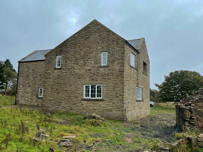
HIGH HOUSE FARM THE BARN High Stoop, DL13 4HL, Esh And Witton Gilbert Bishop Auckland
Property HIGH HOUSE FARM THE BARN has been sold 3 times. The last time it was sold was in 15/12/2006 and the sold price was £400,000.00.
This detached house, sold as a freehold on 15/12/2006, is a 256 sqm mid-terrace house with an EPC rating of D.
| Date | Price | Property Type | Tenure | Classification |
|---|---|---|---|---|
| 15/12/2006 | £400,000.00 | Detached House | freehold | Established Building |
| 04/12/2001 | £205,000.00 | Detached House | freehold | Established Building |
| 21/11/1997 | £114,000.00 | Detached House | freehold | Established Building |
Transport near DL13 4HL, High Stoop
-
 Bishop Auckland Station
 -
Durham Station
-
Chester-Le-Street Station
-
Shildon Station
-
Stocksfield Station
-
Riding Mill Station
-
Newton Aycliffe Station
-
Prudhoe Station
-
Wylam Station
House price paid reports for DL13 4HL, High Stoop
Click on the buttons below to see price paid reports by year or property price:
- Price Paid By Year
Property Price Paid in DL13 4HL, High Stoop by Year
The average sold property price by year was:
| Year | Average Sold Price | Price Change |
Sold Properties
|
|---|---|---|---|
| 2021 | £437,500 | 9% |
1 Property |
| 2006 | £400,000 | 49% |
1 Property |
| 2001 | £205,000 | 44% |
1 Property |
| 1997 | £114,000 | - |
1 Property |