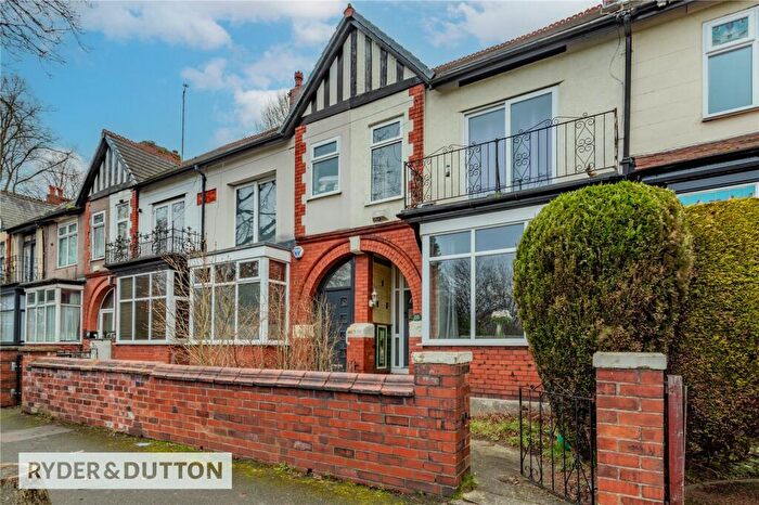
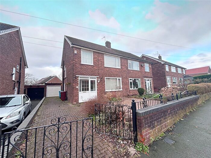
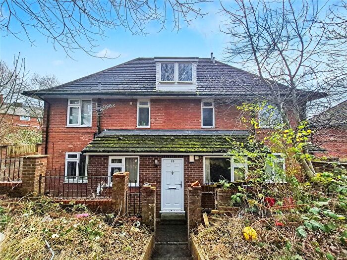
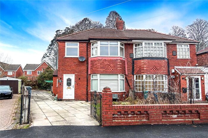
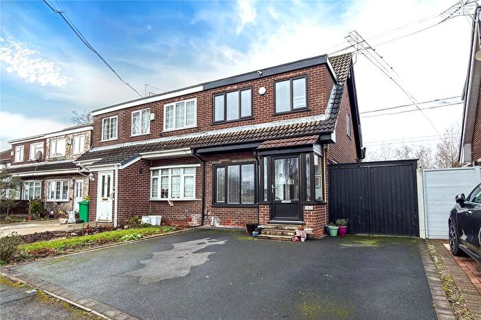
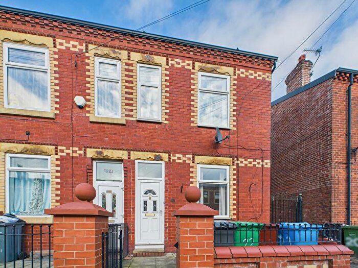
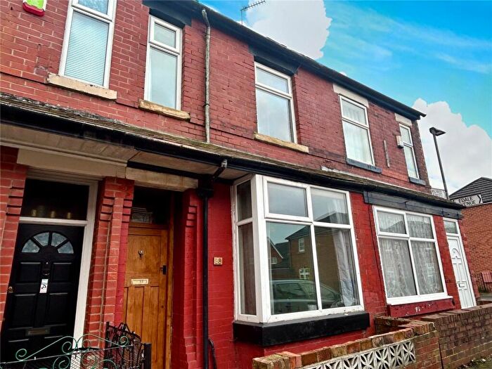
Houses for sale & to rent in Charlestown, Manchester
House Prices in Charlestown
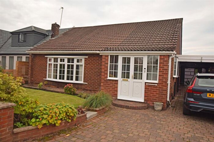
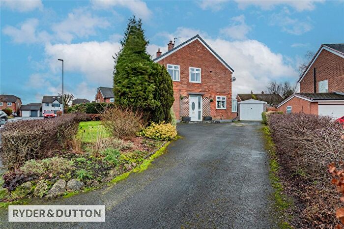
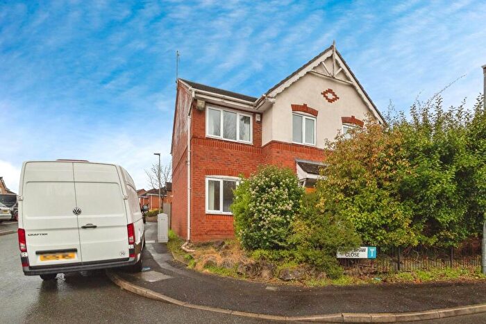
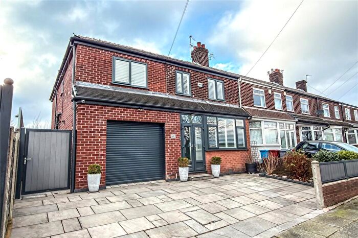
Properties in Charlestown have an average house price of £196,624.00 and had 409 Property Transactions within the last 3 years¹.
Charlestown is an area in Manchester, Manchester with 6,366 households², where the most expensive property was sold for £638,720.00.
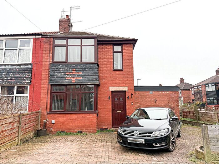
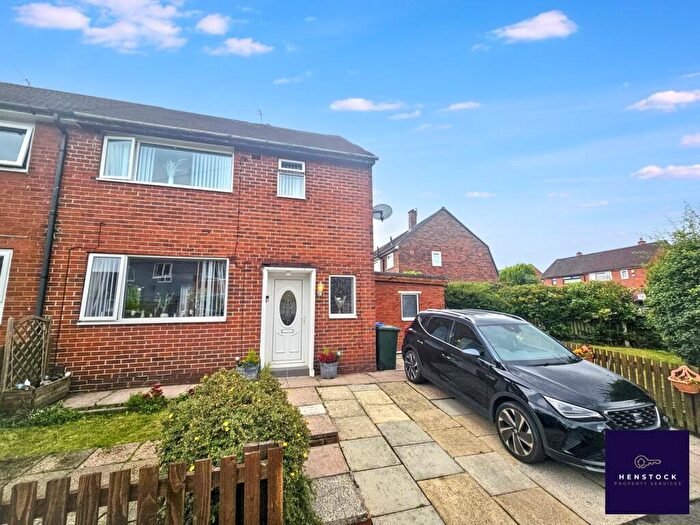
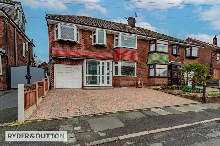
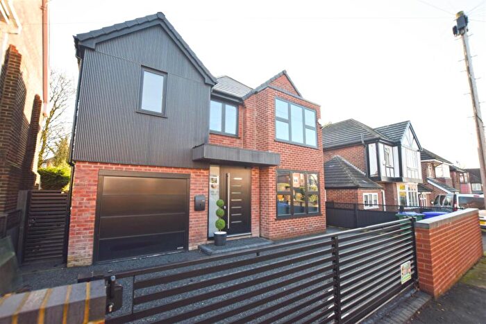
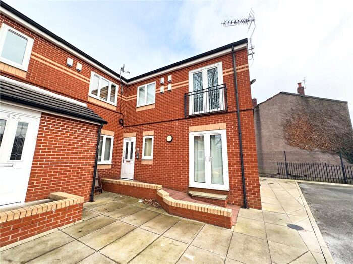
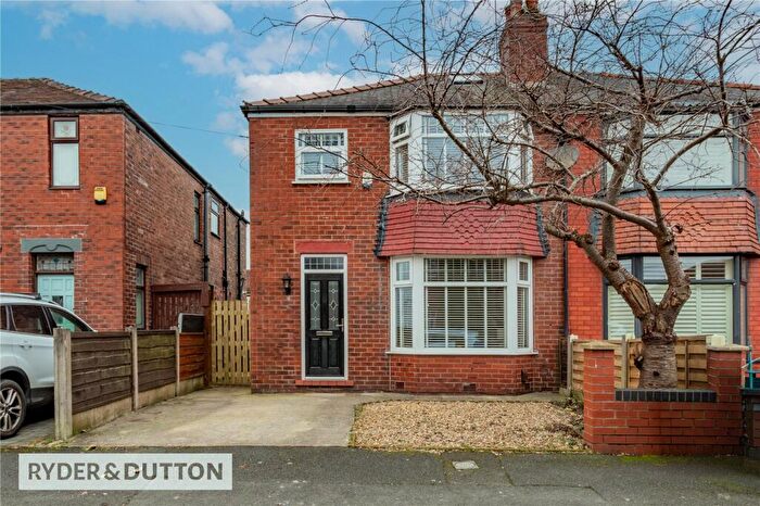
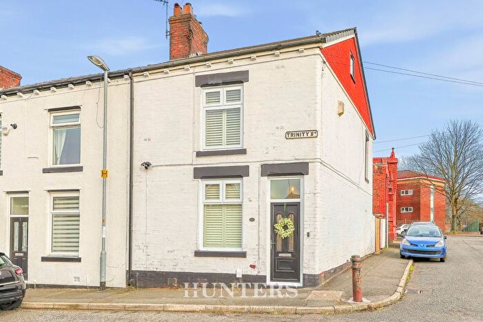
Properties for sale in Charlestown
Roads and Postcodes in Charlestown
Navigate through our locations to find the location of your next house in Charlestown, Manchester for sale or to rent.
| Streets | Postcodes |
|---|---|
| Abberley Drive | M40 0FG |
| Ainsbrook Avenue | M9 7FJ |
| Alpington Walk | M40 0GJ |
| Ambleside Walk | M9 7DT |
| Amesbury Road | M9 6EW M9 6JF M9 6JJ M9 6JQ M9 6JT M9 6FL |
| Amport Walk | M40 0HY |
| Ancaster Walk | M40 0HP |
| Ardale Avenue | M40 5QX |
| Armadale Avenue | M9 6HS |
| Ashlands Avenue | M40 0EE |
| Aspen Road | M9 7GT |
| Athos Walk | M40 0HT |
| Barcliffe Avenue | M40 5QR |
| Barnway Walk | M40 0HZ |
| Belthorne Avenue | M9 7DD |
| Benfield Avenue | M40 5GR |
| Benmore Road | M9 6DN M9 6FW M9 6LD M9 6LG M9 6EJ M9 6EL M9 6LQ |
| Blandford Drive | M40 0ES M40 0FQ M40 0GQ M40 0FS |
| Bloxham Walk | M9 6EQ |
| Blueberry Avenue | M40 0GE M40 0GF |
| Booth Hall Road | M9 7BG M9 7BJ M9 7BW M9 7BL |
| Bossall Avenue | M9 6EN |
| Bradshaw Fold Avenue | M40 0JY |
| Bransby Avenue | M9 6JN |
| Branston Road | M40 0JR M40 0JZ |
| Brentnor Road | M40 0HB M40 0HD |
| Brixworth Walk | M9 6FJ |
| Broadmoss Drive | M9 7HG M9 7HS |
| Buile Drive | M9 6BD |
| Caen Avenue | M40 5RX |
| Capricorn Road | M9 7JA |
| Carville Road | M9 7FE |
| Caspian Road | M9 7JB |
| Charlestown Road | M9 7AB M9 7AD M9 7BB M9 7BD M9 7BR M9 7BS M9 7DE M9 7DF M9 7ED M9 7DZ M9 7ES |
| Chendre Road | M9 7FF |
| Churston Avenue | M9 6LF |
| Clement Stott Close | M9 6EH |
| Clough Top Road | M9 7DJ M9 7EE M9 7DN |
| Cobham Avenue | M40 5QW |
| Colgrove Avenue | M40 5QY |
| Colindale Avenue | M9 6JD |
| Colmore Drive | M9 6EX M9 7GB |
| Common Alder Way | M9 7GP |
| Cotton Grass Drive | M9 6AH |
| Crossdale Road | M9 6JS M9 6JU |
| Crosslee Road | M9 6HG M9 6SY M9 6TA M9 6TG |
| Crowden Road | M40 5RN M40 5RW |
| Cullen Grove | M9 6LJ |
| Dalham Avenue | M9 7DL |
| Dam Head Drive | M9 6LX |
| Daneswood Avenue | M9 6HQ |
| Dantall Avenue | M9 7BH |
| Denmore Road | M40 0HH |
| Denstone Walk | M9 6DB |
| Dugdale Avenue | M9 6JG |
| Dunster Avenue | M9 6JW |
| Durrington Walk | M40 5JY |
| Duxford Walk | M40 5JN |
| Earby Grove | M9 6LL |
| East Garth Walk | M9 6SF |
| Edenham Walk | M40 0FA |
| Edgefield Avenue | M9 6JB |
| Elaine Avenue | M9 7BF |
| Elmton Road | M9 6JP M9 6EY |
| Enderby Road | M40 0EN |
| Enstone Drive | M40 0FN |
| Euston Avenue | M9 7AP |
| Evesham Road | M9 7DS M9 7EH M9 7ER |
| Fay Avenue | M9 7BT |
| Fontwell Walk | M40 0FW |
| Fossage Close | M9 7GE |
| Fourways Walk | M40 5RQ |
| Frinton Avenue | M40 0HS |
| Fulwood Avenue | M9 6JX |
| Garrowmore Walk | M9 6SE |
| Gayton Walk | M40 0EP |
| Gifford Avenue | M9 6JH |
| Girton Walk | M40 0FE |
| Gisburne Avenue | M40 0LB |
| Glanton Walk | M40 0FF |
| Glencar Drive | M40 0ET |
| Glenwyn Avenue | M9 6JE |
| Glossop Terrace | M40 0LA |
| Goat Willow Road | M9 7GQ |
| Grange Drive | M9 7AJ M9 7AL |
| Grange Park Road | M9 7AF M9 7AH M9 7AN |
| Grasdene Avenue | M9 6EA |
| Greendale Drive | M9 6NT |
| Greengate East | M40 0JL |
| Greetland Drive | M9 6DP |
| Grindall Avenue | M40 5RP |
| Haddington Drive | M9 6LR |
| Halkirk Walk | M40 0GD |
| Hall Moss Road | M9 7AT |
| Halsmere Drive | M9 6FP |
| Haverfield Road | M9 6LP M9 6NY M9 6NU M9 6NX |
| Hemlock Way | M9 7GR |
| Henlow Walk | M40 0EF |
| Highview Walk | M9 6LS |
| Highworth Drive | M40 0GW |
| Hillbrook Avenue | M40 5QN |
| Hillingdon Drive | M9 7DA M9 7DB |
| Hinchley Road | M9 7FG |
| Hollinwood Avenue | M40 0JD M40 0JH M40 0JQ M40 0JX M40 0AE |
| Horse Chestnut Drive | M9 7FU |
| Hurstway Drive | M9 6FT |
| Ingleby Avenue | M9 6HA |
| Inver Walk | M40 0EH |
| Inverness Avenue | M9 6HN |
| Kelham Walk | M40 0DQ |
| Kempsey Walk | M40 0FD |
| Keston Avenue | M9 7AQ |
| Kilmaine Avenue | M9 7FN M9 7FZ |
| Kingston Grove | M9 6HD |
| Kinlett Walk | M40 0EU |
| Kinver Road | M40 5GX M40 5QQ |
| Kirkhill Walk | M40 0FP |
| Kirkholt Walk | M9 6LU |
| Kirkstone Road | M40 0GG M40 0HE |
| Kirkway | M9 6HT |
| Lake View | M9 7EJ |
| Lander Grove | M9 6LN |
| Langland Close | M9 6LT |
| Langside Avenue | M9 6JL |
| Lea Drive | M9 7AR |
| Leamore Walk | M9 6DA |
| Leander Close | M9 7EF |
| Leconfield Drive | M9 6FD |
| Leegate Drive | M9 6BB |
| Leroy Drive | M9 7EW |
| Levedale Road | M9 6JA M9 6JR |
| Leyburn Road | M40 5PX M40 5QZ M40 5GZ |
| Lightbowne Road | M40 0EJ M40 0HA M40 0HJ M40 0HL M40 0HN M40 0HW |
| Lilstock Walk | M9 6DG |
| Lindside Walk | M9 6DH |
| Linford Avenue | M40 0FB |
| Lowbrook Avenue | M9 7JD |
| Lowfield Walk | M9 6FA |
| Lynthorpe Road | M40 0JS M40 0JT M40 0JU |
| Malley Walk | M9 6FU |
| Manton Avenue | M9 7BA |
| Marlton Walk | M9 6DT |
| Meadowbrook Close | M9 6NS |
| Metfield Walk | M40 0EY |
| Middlegate | M40 0JP |
| Midmoor Walk | M9 6EE |
| Millfield Walk | M40 0HG |
| Mitcham Avenue | M9 7AU |
| Moorsley Drive | M9 6BF |
| Moorway Drive | M9 7HU M9 7HR M9 7HT |
| Mortimer Avenue | M9 6JZ |
| Moss Farm Drive | M9 6AA |
| Moston Lane | M40 5GT M40 5QD M40 5RG M40 5RJ M40 5RS M40 5RT M40 5RZ M40 9GR |
| Mulgrove Walk | M9 6SN |
| Munslow Walk | M9 6EG |
| Naseby Avenue | M9 6JY |
| Newburn Avenue | M9 6HU |
| Newcliffe Road | M9 6LB M9 6LY |
| Newick Walk | M9 6FY |
| Nina Drive | M40 5RU M40 5SA M40 5SB M40 5SD |
| Normanton Drive | M9 6FZ |
| Northerly Crescent | M40 0JW |
| Northland Road | M9 7AG |
| Northwold Drive | M9 7HY M9 7HX |
| Norville Avenue | M40 0JG |
| Norway Maple Avenue | M9 7GF |
| Nuthurst Road | M40 0EL M40 0EW M40 5QL |
| Ogmore Walk | M40 0EQ |
| Ordell Walk | M9 6EB |
| Osterley Road | M9 7BP M9 7BQ |
| Ottery Walk | M40 0GA |
| Oxhill Walk | M40 0EZ |
| Parham Walk | M9 6ED |
| Pembridge Road | M9 6HX M9 6LE |
| Pendrell Walk | M9 6SL |
| Penistone Avenue | M9 7BN |
| Pennine Close | M9 6HR |
| Pentland Avenue | M40 5GY |
| Periton Walk | M9 6FB |
| Pevensey Court | M9 7DX |
| Pilkington Road | M9 7BY M9 7BX |
| Pinfold Avenue | M9 7DW |
| Pitmore Walk | M40 0GB |
| Pleasington Drive | M40 0BT |
| Polefield Road | M9 6FN M9 7EN M9 7FL |
| Ponsford Avenue | M9 7AS |
| Poynter Street | M40 0DH |
| Prestwick Walk | M40 0GH |
| Rainton Walk | M40 0FR |
| Ramsbury Drive | M40 0FY |
| Ranby Avenue | M9 6LW |
| Rastell Walk | M9 6ST |
| Raycroft Avenue | M9 7EA |
| Red Cedar Close | M9 7GS |
| Rimmington Close | M9 7DP |
| Rochdale Road | M9 6ER M9 6FQ M9 6FR M9 7EL M9 7EP M9 7EQ M9 7FW M9 7HD |
| Rockland Walk | M40 0HX |
| Rocklyn Avenue | M40 0HF |
| Rockmead Drive | M9 6SS |
| Roxby Walk | M40 0EX |
| Rushberry Avenue | M40 0GL |
| Rushcroft Court | M9 7DU |
| Rushway Avenue | M9 7GA |
| Salvin Walk | M9 6SJ |
| Sandmere Walk | M9 6SR |
| Sawston Walk | M40 5JW |
| Scorton Walk | M40 0EA |
| Selkirk Drive | M9 7AE |
| Shackliffe Road | M40 5GQ M40 5QS M40 5QT |
| Shafton Walk | M40 0EB |
| Shakleton Avenue | M9 7AW |
| Shawford Crescent | M40 5GU |
| Shawford Road | M40 5GW M40 5QU M40 5QP |
| Shilton Walk | M40 0EG |
| Sidley Avenue | M9 6HJ |
| Silver Birch Road | M9 7GG M9 7GJ |
| Snowden Walk | M40 0HU |
| Southdown Crescent | M9 7DG M9 7DQ M9 7DY |
| Southerly Crescent | M40 0JN |
| Southmere Close | M40 5JJ |
| Spindletree Avenue | M9 7HQ |
| St Margarets Road | M40 0JE M40 0JF |
| Stanage Avenue | M9 6HH |
| Standon Walk | M40 0ED |
| Stocksfield Drive | M9 6EZ |
| Swinford Walk | M9 6DE |
| Sycamore Road | M9 7GN |
| Tangmere Close | M40 5JX |
| Tedburn Walk | M40 0FT |
| Teddington Road | M40 0DW |
| Teesdale Walk | M9 6SB |
| Tenham Walk | M9 6SU |
| Tetsworth Walk | M40 0FU |
| The Coppice | M9 7FH |
| The Quadrant | M9 7AZ |
| Thornford Walk | M40 0FH |
| Tilgate Walk | M9 6SA |
| Tomlinson Street | M40 5RY |
| Tongley Walk | M40 0FX |
| Topcliffe Road | M9 7FT |
| Torpoint Walk | M40 0FZ |
| Torrington Avenue | M9 7EB |
| Ullswater Walk | M9 6SP |
| Upwood Walk | M9 6SH |
| Victoria Avenue East | M40 5SH M9 6HB M9 6HE M9 6HF M9 6HL M9 6HP M9 7GH M9 7HW M9 7SS M9 6HW |
| Waldeck Walk | M9 6SQ |
| Wanstead Avenue | M9 7BU |
| Warfield Walk | M9 6SG |
| Wellbrow Walk | M9 6SD |
| Wellhouse Drive | M40 5JH |
| Wenfield Drive | M9 7BE |
| Westcraig Avenue | M40 5SE |
| Weybourne Avenue | M9 7DH |
| White Moss Road | M9 6HY M9 6HZ M9 6LA M9 6LH M9 6LZ M9 6EF M9 6NZ |
| Whitemoss Gardens | M9 7DR |
| Whitstable Road | M40 0DN M40 0DT |
| Wigsby Avenue | M40 0FL |
| Wild Cherry Avenue | M9 7GL |
| Willow Moss Drive | M9 6AG |
| Woodmere Drive | M9 6DD |
| Woodstock Road | M40 0DR M40 0DS |
| Woolton Close | M40 0HQ |
| Wortley Grove | M40 5GS |
| Yeb Fold | M40 5GB |
Transport near Charlestown
-
Moston Station
-
Mills Hill Station
-
Manchester Victoria Station
-
Manchester Piccadilly Station
-
Ashburys Station
-
Ardwick Station
-
Salford Central Station
-
Gorton Station
-
Manchester Oxford Road Station
-
Fairfield Station
- FAQ
- Price Paid By Year
- Property Type Price
Frequently asked questions about Charlestown
What is the average price for a property for sale in Charlestown?
The average price for a property for sale in Charlestown is £196,624. This amount is 24% lower than the average price in Manchester. There are 2,976 property listings for sale in Charlestown.
What streets have the most expensive properties for sale in Charlestown?
The streets with the most expensive properties for sale in Charlestown are Rushway Avenue at an average of £372,500, Kingston Grove at an average of £335,000 and Common Alder Way at an average of £316,333.
What streets have the most affordable properties for sale in Charlestown?
The streets with the most affordable properties for sale in Charlestown are Crosslee Road at an average of £65,000, East Garth Walk at an average of £70,000 and Moorway Drive at an average of £70,000.
Which train stations are available in or near Charlestown?
Some of the train stations available in or near Charlestown are Moston, Mills Hill and Manchester Victoria.
Property Price Paid in Charlestown by Year
The average sold property price by year was:
| Year | Average Sold Price | Price Change |
Sold Properties
|
|---|---|---|---|
| 2025 | £202,440 | 3% |
126 Properties |
| 2024 | £196,982 | 3% |
145 Properties |
| 2023 | £190,938 | 5% |
138 Properties |
| 2022 | £181,807 | 7% |
165 Properties |
| 2021 | £168,957 | 16% |
220 Properties |
| 2020 | £142,309 | 8% |
136 Properties |
| 2019 | £131,315 | -31% |
183 Properties |
| 2018 | £172,212 | 20% |
236 Properties |
| 2017 | £138,142 | 5% |
213 Properties |
| 2016 | £130,691 | 8% |
194 Properties |
| 2015 | £119,962 | 15% |
183 Properties |
| 2014 | £101,913 | 10% |
151 Properties |
| 2013 | £91,562 | -1% |
86 Properties |
| 2012 | £92,921 | -2% |
78 Properties |
| 2011 | £95,117 | -10% |
77 Properties |
| 2010 | £104,714 | -9% |
104 Properties |
| 2009 | £114,132 | -3% |
81 Properties |
| 2008 | £117,597 | -5% |
131 Properties |
| 2007 | £123,742 | -2% |
348 Properties |
| 2006 | £126,288 | 14% |
335 Properties |
| 2005 | £109,037 | 23% |
290 Properties |
| 2004 | £83,757 | 13% |
176 Properties |
| 2003 | £72,985 | 23% |
199 Properties |
| 2002 | £56,477 | 4% |
171 Properties |
| 2001 | £54,174 | 9% |
214 Properties |
| 2000 | £49,383 | 3% |
200 Properties |
| 1999 | £47,786 | 22% |
149 Properties |
| 1998 | £37,492 | 1% |
92 Properties |
| 1997 | £37,054 | 17% |
87 Properties |
| 1996 | £30,861 | -5% |
64 Properties |
| 1995 | £32,303 | - |
69 Properties |
Property Price per Property Type in Charlestown
Here you can find historic sold price data in order to help with your property search.
The average Property Paid Price for specific property types in the last three years are:
| Property Type | Average Sold Price | Sold Properties |
|---|---|---|
| Semi Detached House | £208,558.00 | 190 Semi Detached Houses |
| Detached House | £328,720.00 | 35 Detached Houses |
| Terraced House | £182,632.00 | 125 Terraced Houses |
| Flat | £109,477.00 | 59 Flats |

